Careers
Helping AI to see the bigger picture - Aurelie Noel
BY NESTAI
/
7.10.2026
5
MIN READ
Most defence AI is validated once and expected to stay sufficient after that. In the field, conditions change too fast for that to hold. NestAI is building NestOS, an open, modular platform for adaptive intelligence in European defence. AI that learns from the field and evolves after deployment.
"It's all layers," says Aurelie from NestAI. "You see the landscape with layers of information that, when you put them together, you notice things you otherwise wouldn't. Initially you have one view of the road and one view of the village, but once put together, you start to see patterns."
That's how she describes Geographic Information Systems (GIS), and why it matters for decision-making. It builds certainty in changing operational environments that usually have very little of it.
"GIS has always had the purpose of helping to make the best decision by seeing the big picture more clearly.”
Connecting layers is the thread running through Aurelie's journey from satellites and stones to a role she is building for herself at NestAI.
Applying for a role that didn't exist
Aurelie is originally from Belgium, where she studied geology and then geography, followed by a master's thesis in remote sensing in Morocco, Vietnam and Canada. Seeing the world from above has fascinated her from the start.
"I wanted to figure out how things connect through imagery. If you see a forest, a road, and a river, what does that tell you about how the flooding related to the river is managed? Or why is the habitation built so close to the river? Seeing the world from above has always been my interest."
Applying artificial intelligence to geospatial data - geo AI - felt like the natural next step as a way to stitch that picture together even more clearly, and effectively.
Aurelie found NestAI through LinkedIn. Coincidently, her first job had also been in defence, so the leap from environmental work back into it wasn't far at all.
"In Belgium, my first job was with the National Geographic Institute, which is under the supervisory authority and tutelage of the Belgian Ministry of Defence.”
That background helped her spot the untapped potential of GIS at NestAI.
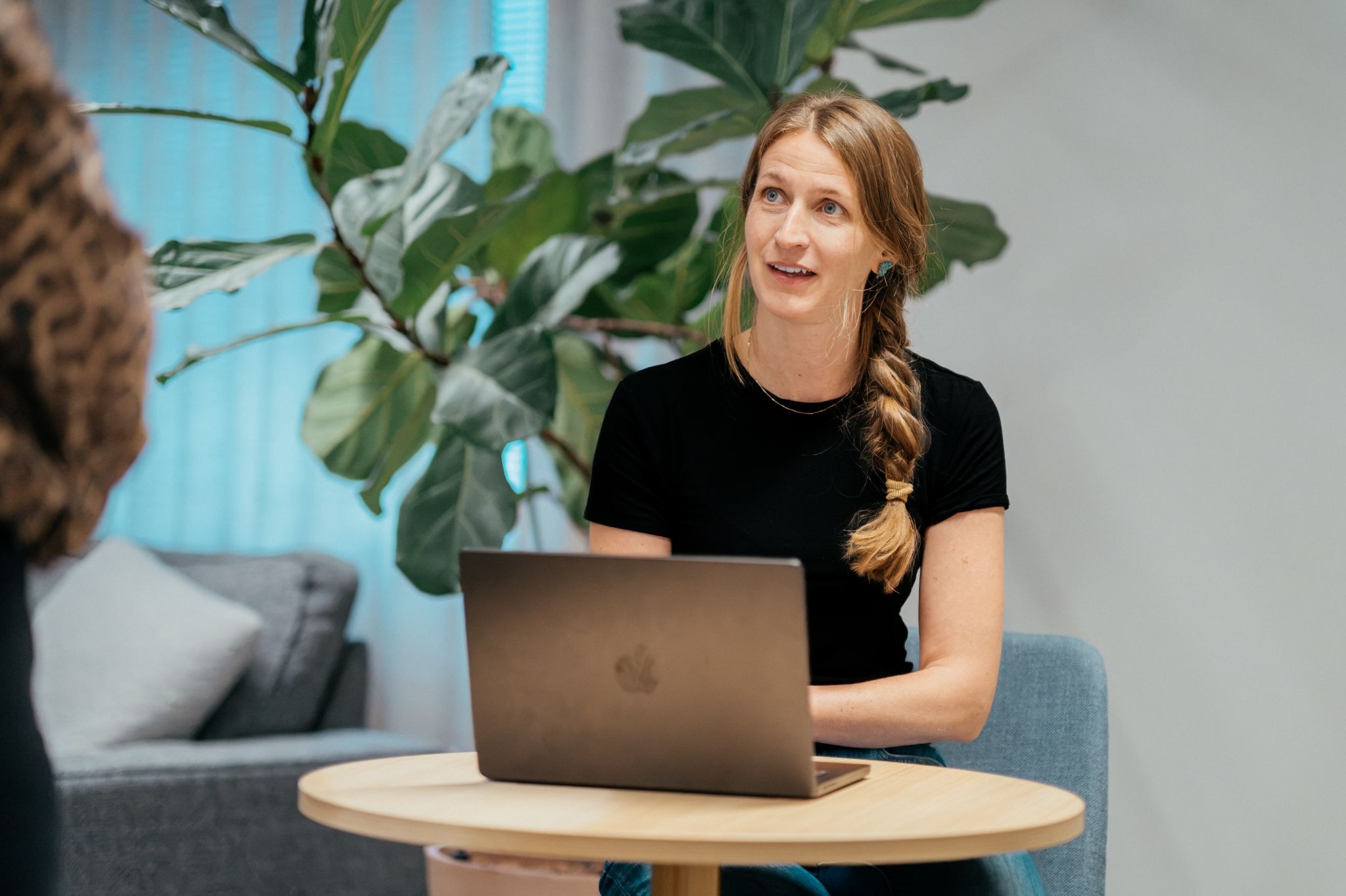
"There was no geospatial role yet at NestAI when I was recruited, back in March. I decided to pitch the impact I could bring through bringing GIS expertise to the company.”
Her case on geospatial data capabilities successfully translated into a role for her in the company as well.
Building the geospatial competence
Geospatial data has always been overlooked, Aurelie says, precisely because of what makes it valuable.
"Historically, geospatial data has always been the ugly duckling. No one wants to deal with it because it's really tricky, difficult to handle. The data is not just a row in a table; it's also attached to a location, and the way you handle location data makes it difficult."
That friction between data and the real world is also what makes it so rich.
"There's so much information to leverage from geospatial data. Take a vehicle on a map. Can it move to another location, knowing there are trees in the way, or that the soil is muddy? That's geospatial intelligence."
Teaching AI to see the real world starts with data from the real world. This is where the lab meets the field.
"Teaching vision models starts with real-world sensor data. Our data team works with multi-modal feeds from operational environments. One particular and important part of that data comes from labelling features seen on those feeds: what it is and ultimately, where it is – from vehicles to terrain obstacles – creating the ground truth our models need to learn from."
It's the same principle that many apps use for recognising sounds, for instance.
"Think of the bird app, Merlin Bird ID. You go into the forest, hold up your phone, and it listens. It says, 'That's a chaffinch.' That works because someone, at some point, recorded that birdsong and said, 'This is a chaffinch.' Someone knew what it was and told the computer. That's labelling your environment, a bird song in this case."
For Aurelie, the real value of this work is still ahead of it.
"When used effectively, geolocated labelled data can help to determine where to place a piece of equipment, given its weight, its range, and the terrain. It all comes together once you have the full picture"
Ambitious yet meaningful
Aurelie praises her teammates' openness and the work environment built around sharing knowledge freely. The pace, though, can feel staggering at first.
"If you want to make a difference, and you don't mind being challenged, this is the right place. And be gentle with yourself when you join. It's okay not to have it all figured out in the first weeks."
For Aurelie, the meaning of the work comes back to that same idea: seeing the whole picture, not just one layer of it.
"There's so much to leverage from geospatial intelligence, and to feed into the bigger picture of keeping people safe. That's what excites me most."
Layer by layer, that's exactly what she's building at NestAI.
Work with us
We build adaptive intelligence for Europe's security.
Interested in joining us? Check out our open positions here.